Real estate photo & video
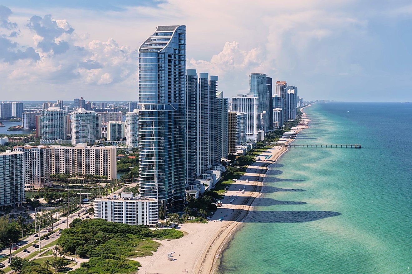
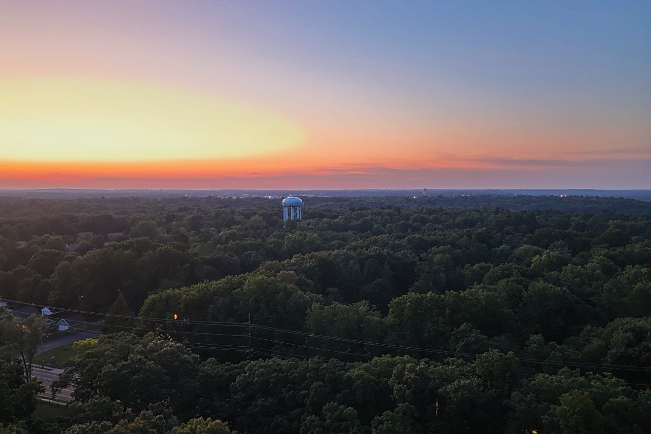
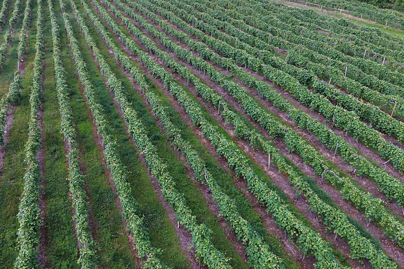
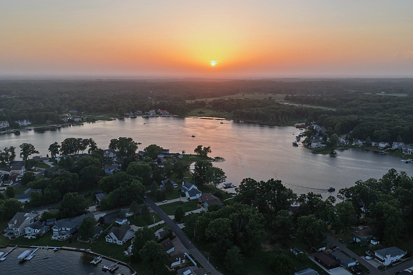
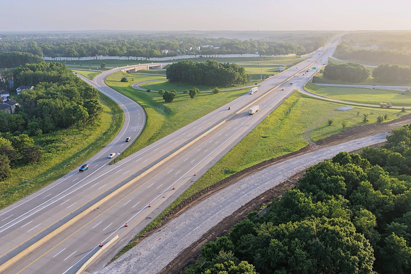
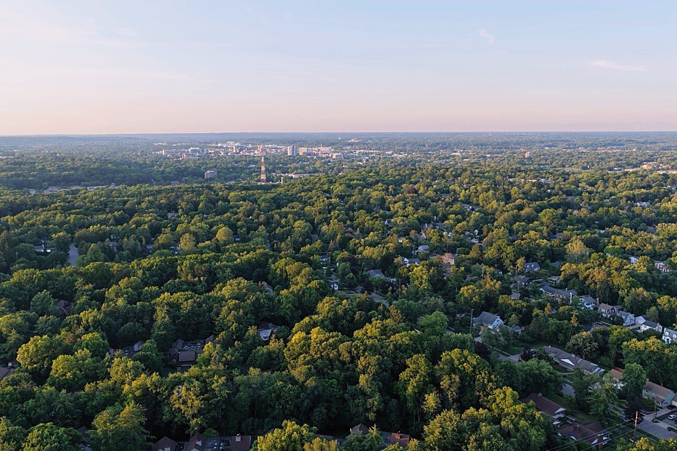
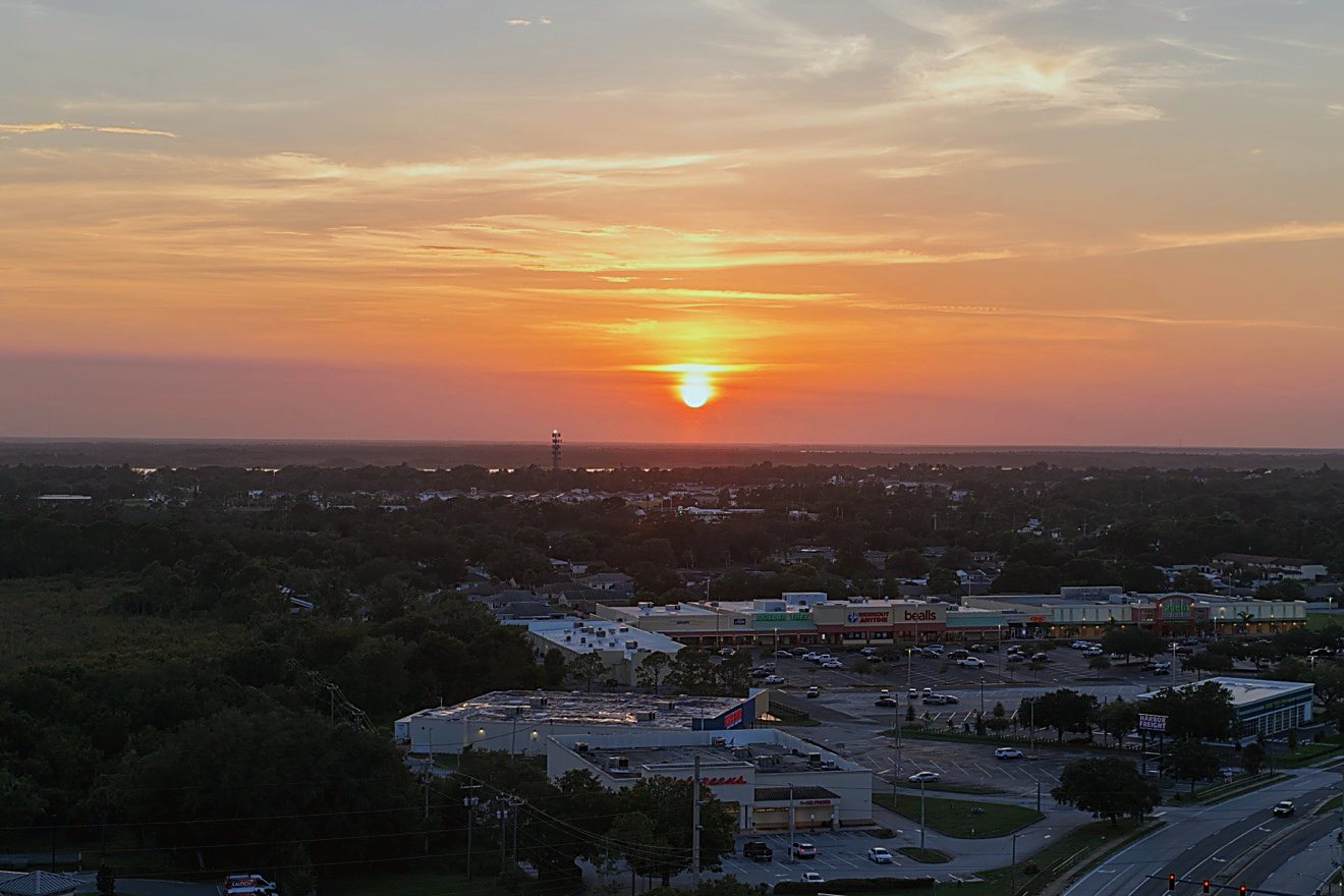
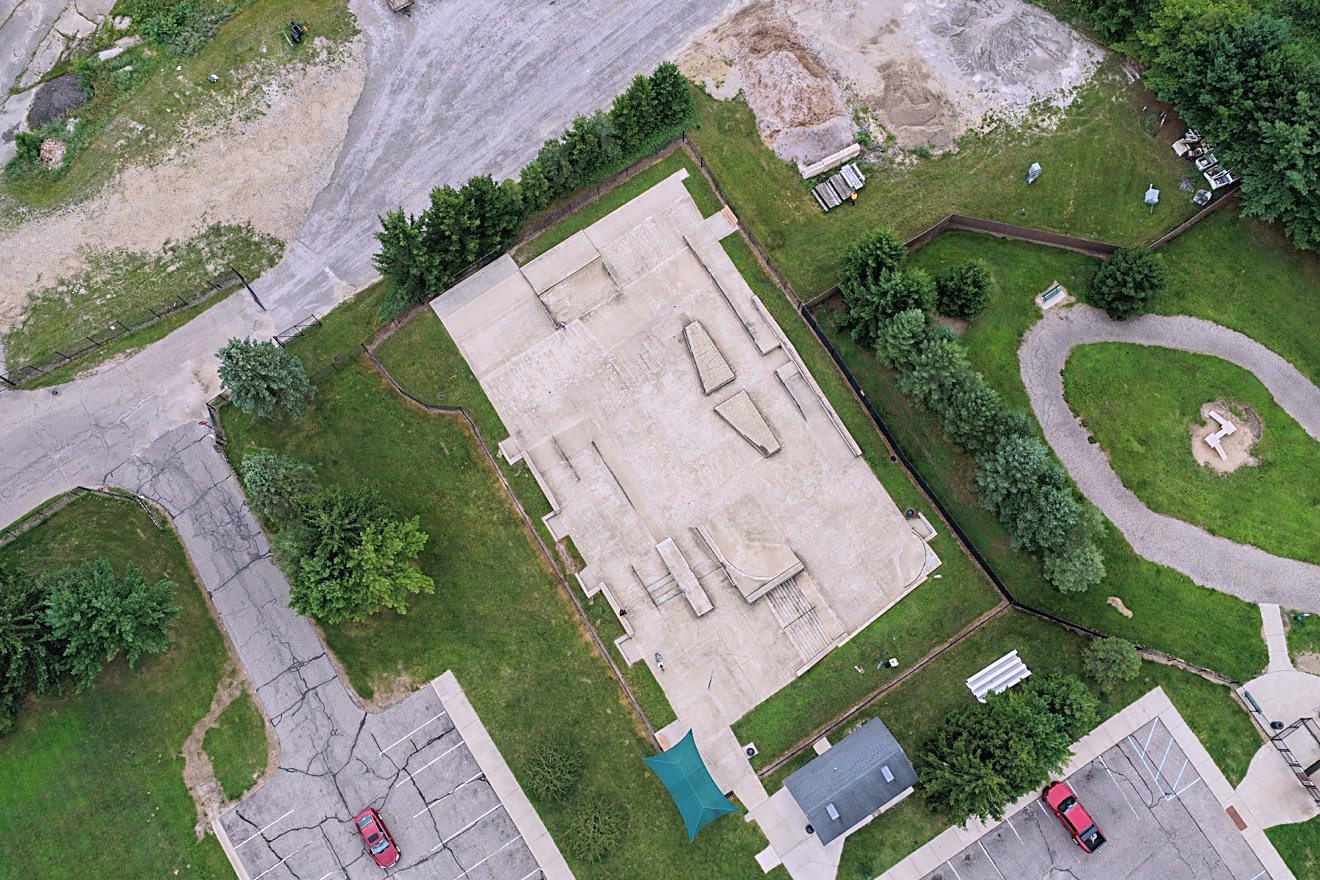
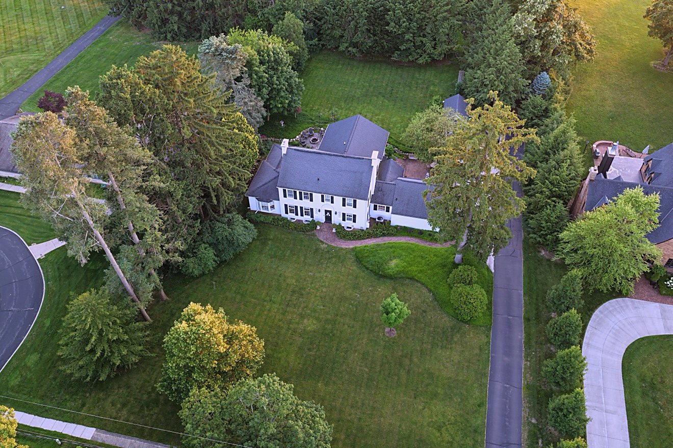
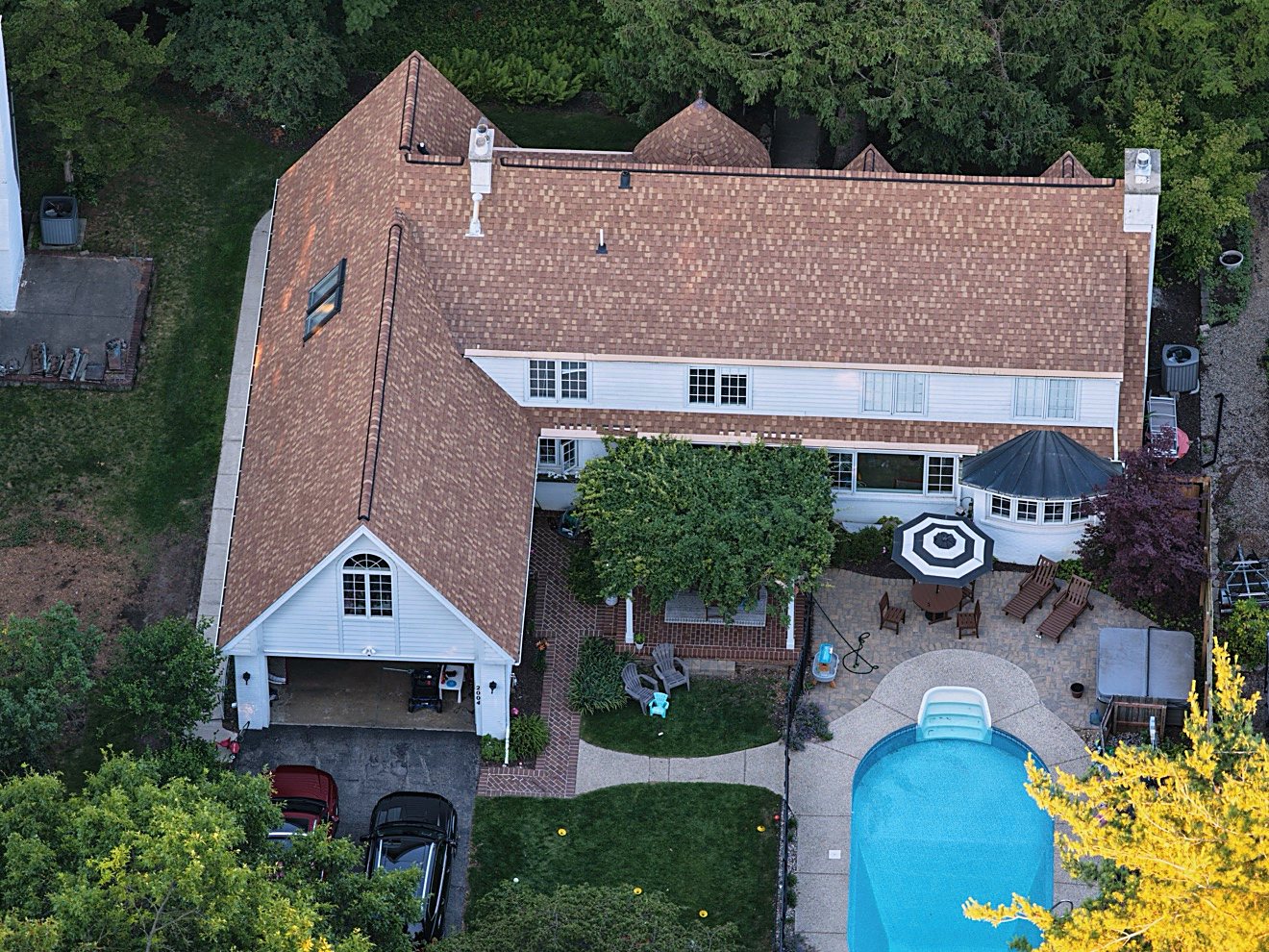
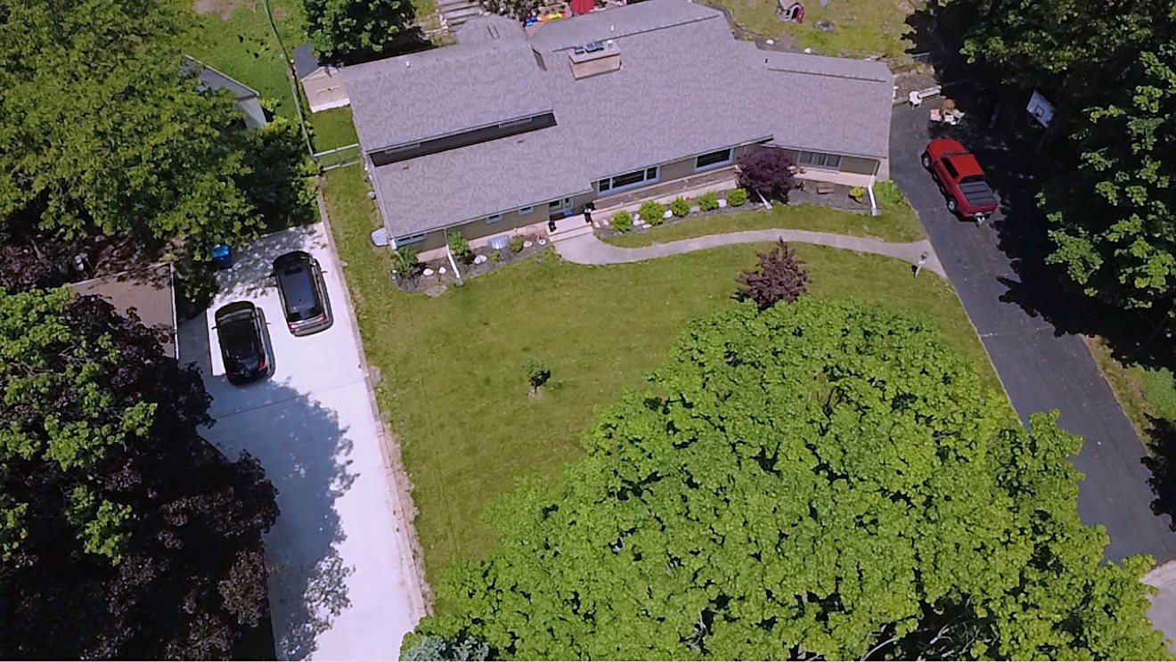
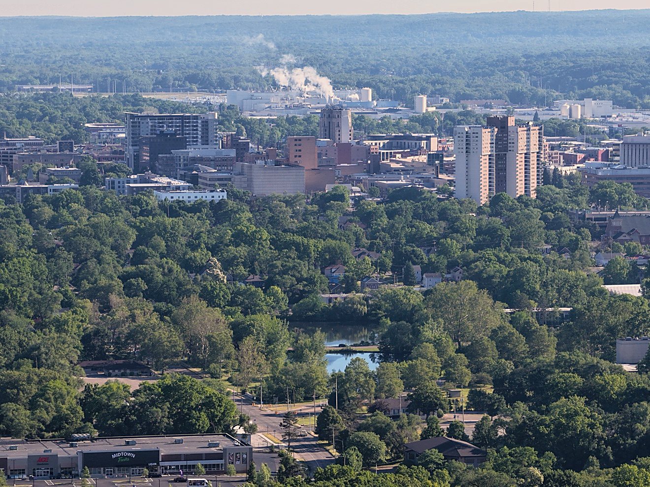
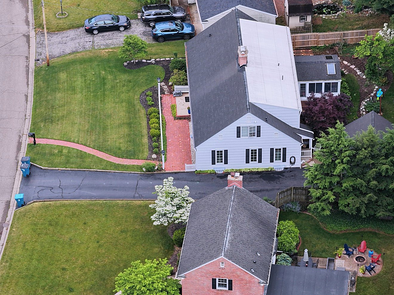
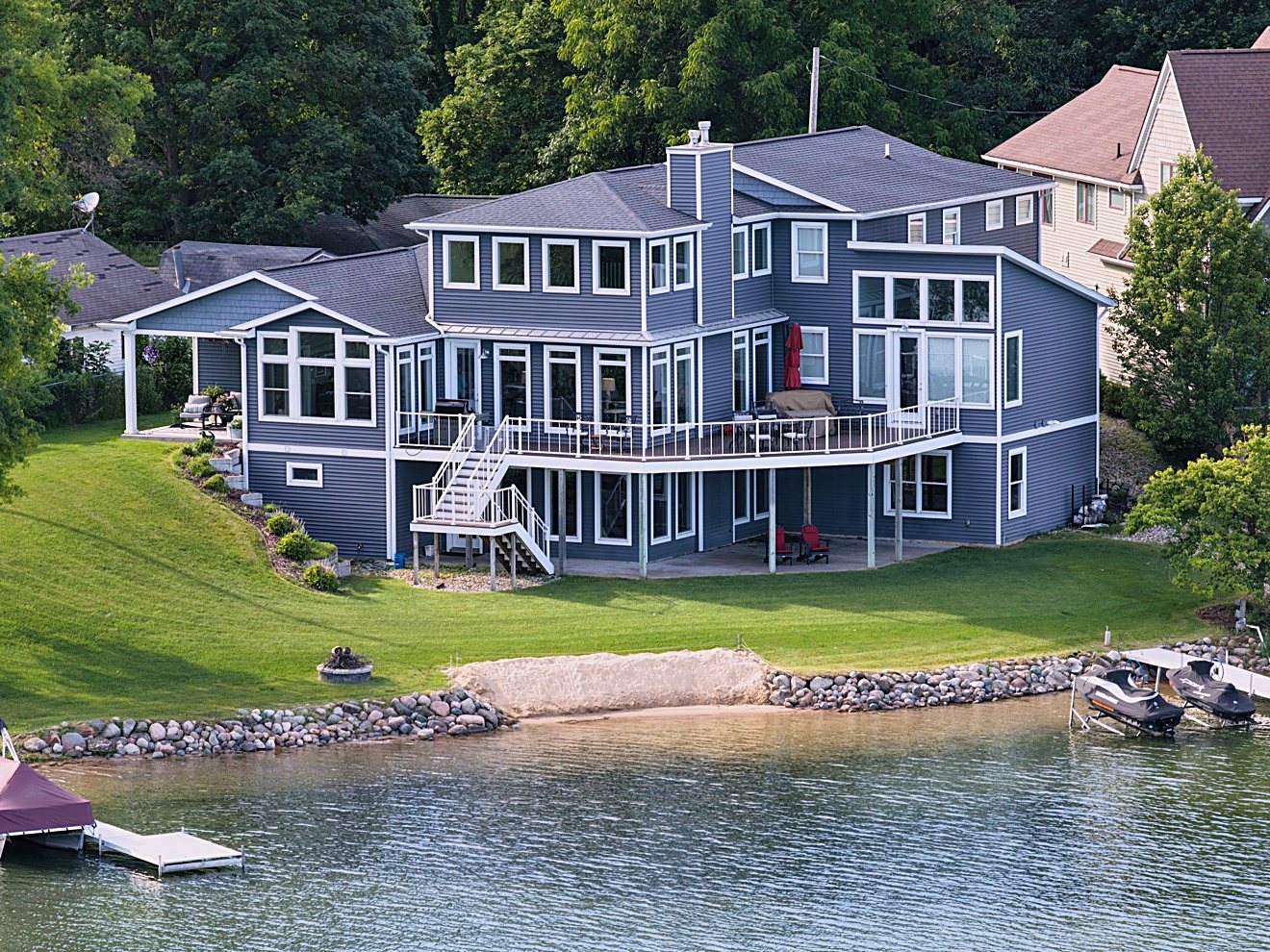
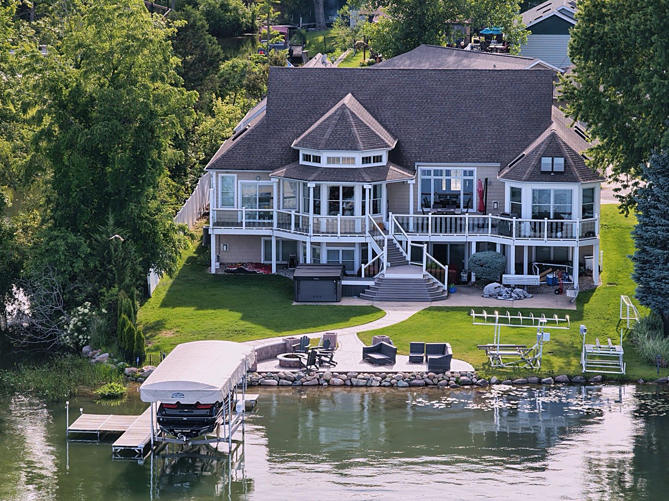
Aerial real estate photography shows the full story of a listing—from lot lines and setting to roofline, access, and nearby features—with polished aerial perspectives.
Based in Kalamazoo, Michigan · Serving Kalamazoo & southwest Michigan
Professional aerial photography, visual inspections, and progress documentation—planned carefully and delivered ready to use.
Clear aerial coverage for the people who market, maintain, and build property. Each project is scoped around your site, deliverables, and intended use.
Aerial real estate photography shows the full story of a listing—from lot lines and setting to roofline, access, and nearby features—with polished aerial perspectives.
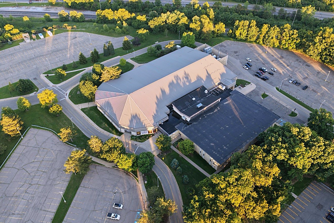
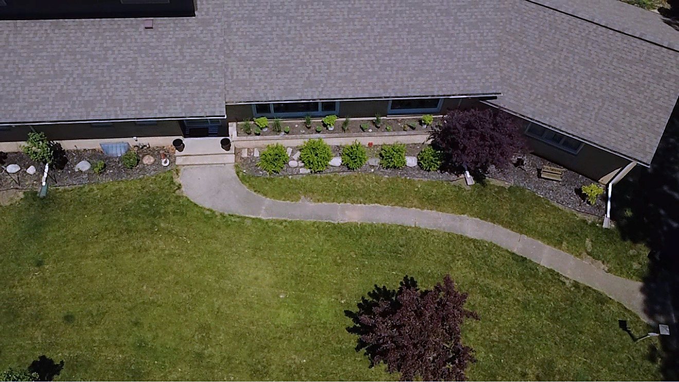
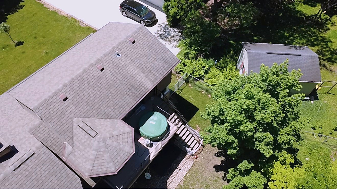
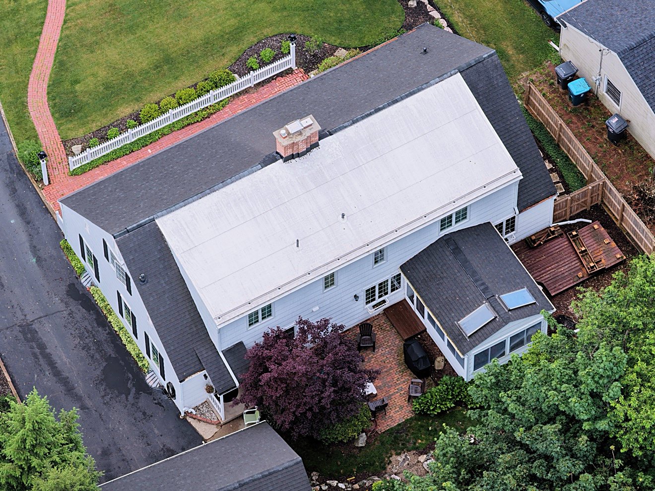
Get close, high-resolution views of hard-to-reach exterior areas with drone roof inspection documentation, without putting a person on the roof. Ideal for visual review and maintenance records.
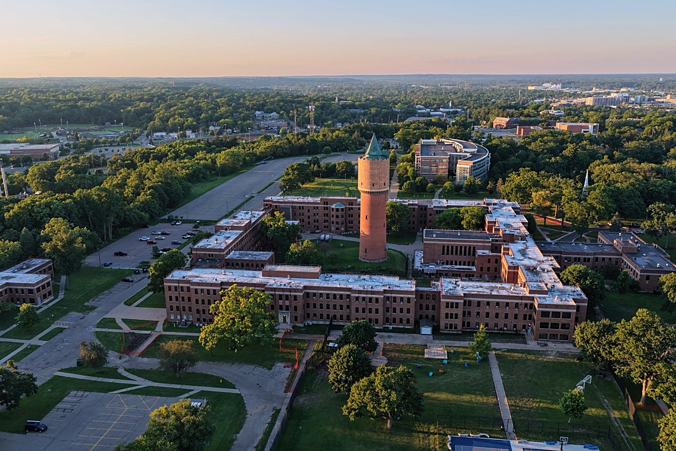
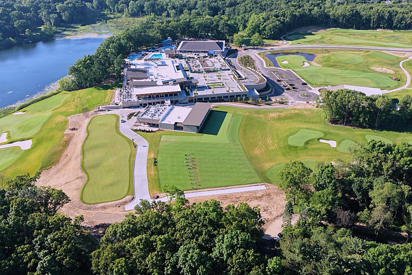
Consistent aerial viewpoints make construction progress photography useful for documenting milestones, communicating with stakeholders, and maintaining a visual record over time.
Final quotes depend on property size, location, and requirements. Every quote is itemized — no surprises.
Where I fly
Projects are quoted with travel, site conditions, airspace, and deliverables in mind. Travel within a 30-mile radius of Kalamazoo is included; travel beyond 30 miles is itemized up front.
All flights remain subject to weather, airspace authorization, and safe operating conditions.
Send the location, deadline, and what you need to show. You’ll get a clear scope before the aircraft leaves the ground.
Tell us the address, goal, timing, and requested photo or video deliverables.
We review the site, airspace, weather window, access, and safety considerations.
The flight follows the approved scope and any required operational limitations.
Edited, organized deliverables arrive in the format agreed to for your project.
Commercial drone work should be planned around compliance, risk, and the job at hand—not just the shot.
Commercial flights are operated by an FAA-certified remote pilot, with mission planning and regulatory requirements addressed before takeoff.
Drone liability coverage is arranged for every project, with a certificate of insurance available on request.
Hiring an FAA Part 107 licensed pilot keeps your project legal — unlicensed drone work can create liability for property owners and agents.
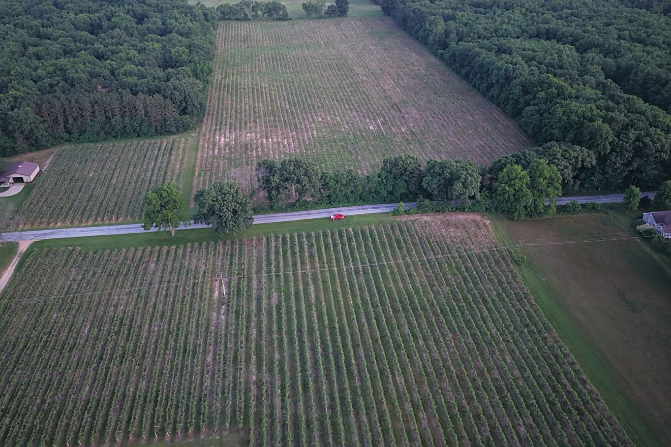
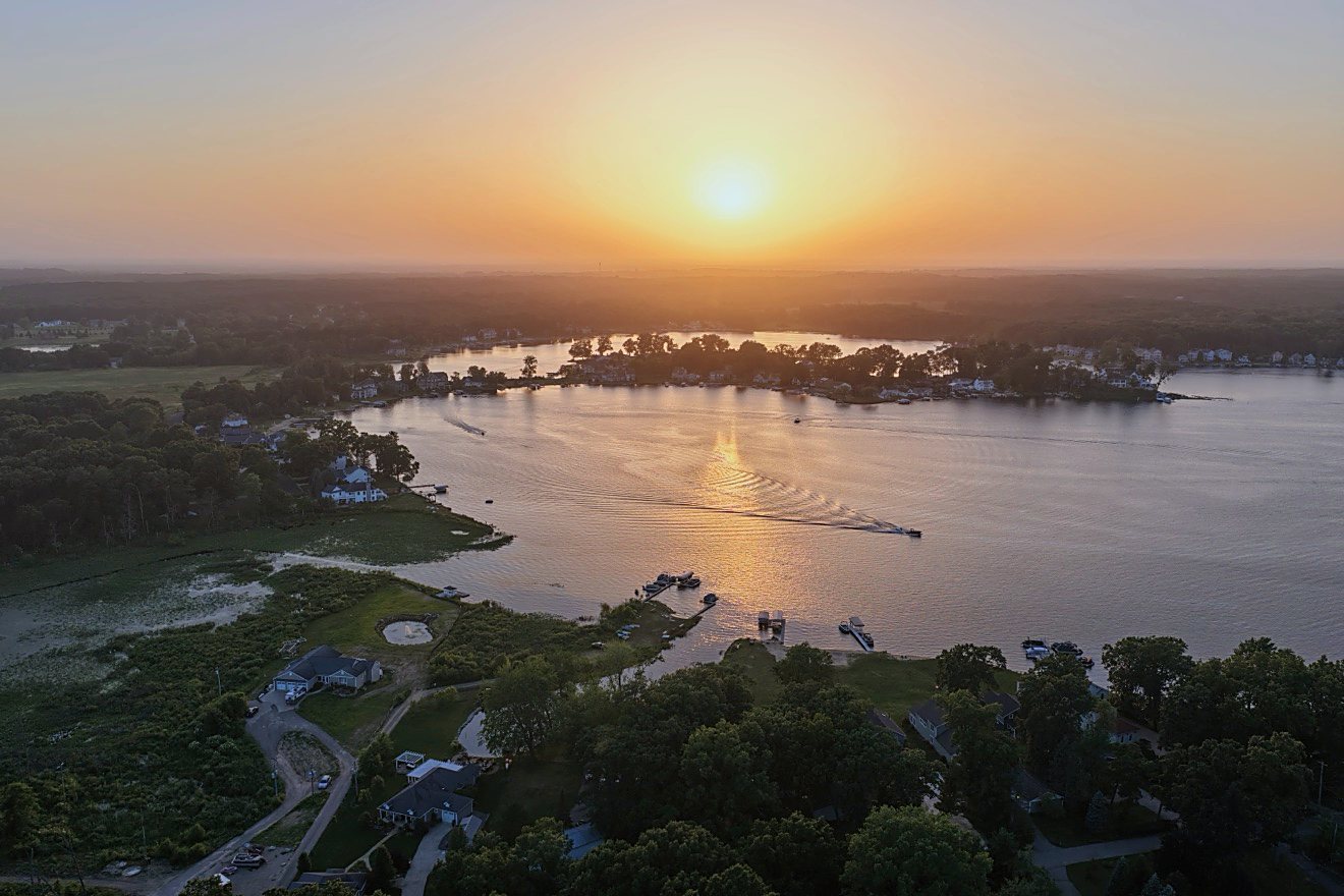
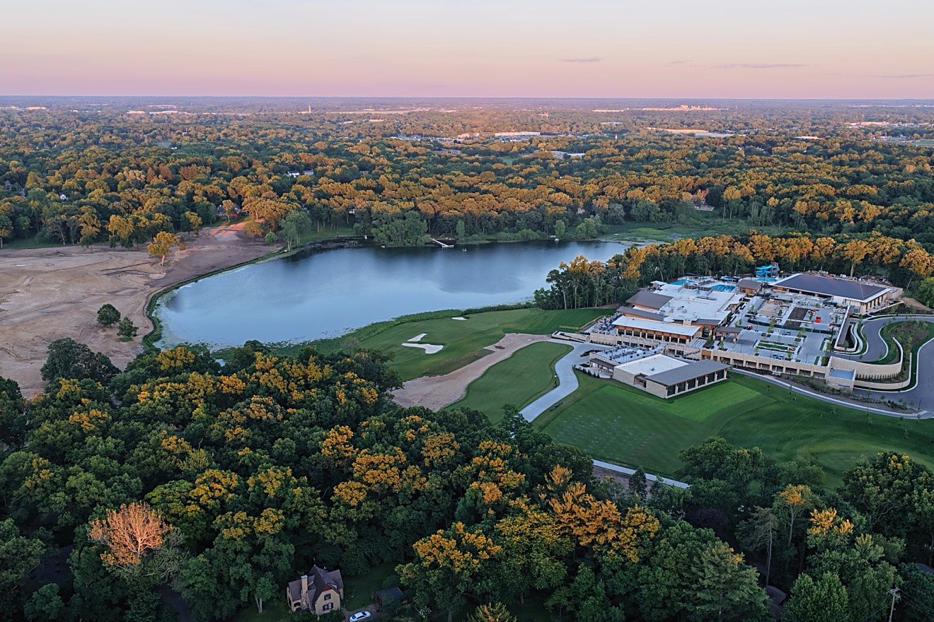
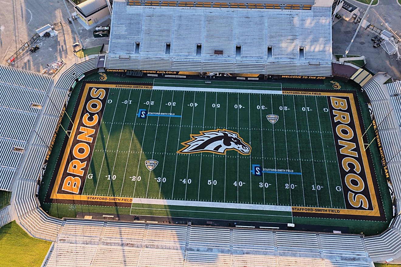
Aerial photography by Sanford Aerial Solutions, shot on the DJI Mavic 4 Pro. Client project galleries are coming soon.


The practical details behind pricing, scheduling, weather, airspace, insurance, and travel.
Property Essentials starts at $249, Photo & Motion starts at $449, and a Progress Visit is $225 per visit. Every quote is itemized, and a 50% deposit books the project.
Turnaround is confirmed in each quote so you know the delivery schedule before booking.
If conditions are not safe to fly, the flight is rescheduled at no charge.
Flights are operated by an FAA Part 107 pilot, and airspace authorization is arranged where required.
Drone liability coverage is arranged for every project. A certificate of insurance is available on request.
Sanford Aerial Solutions is based in Kalamazoo, Michigan, serving Kalamazoo and southwest Michigan. Travel within a 30-mile radius of Kalamazoo is included; travel beyond that radius is itemized up front.
Practical guides on drone photography pricing, real estate shoots, roof inspections, and construction progress across Kalamazoo and southwest Michigan.
Pricing
What aerial photos cost, what moves the price, and our rates starting at $249.
Read the guideReal estate
How aerial photos help listings stand out, what to expect from a shoot, and typical pricing.
Read the guideInspections
A safer, faster way to document roof and exterior condition without climbing a ladder.
Read the guideConstruction
Scheduled aerial visits that keep stakeholders informed, from $225 per visit.
Read the guideCompliance
What certification requires, the risks of unlicensed operators, and how to verify a pilot.
Read the guideLand
Boundaries, access, terrain, and outbuildings, shown the way land buyers think.
Read the guideInsurance
Fast, safe roof documentation that gives adjusters the evidence they need.
Read the guidePlanning
What to tidy, the best light, what your pilot needs, and what happens on shoot day.
Read the guideProperty management
Routine exterior documentation, turnover records, and multi-property efficiency.
Read the guideSeasonal
Peak color lasts about two weeks. Book an aerial shoot while the canopy is at its best.
Read the guideLakefront
Shoreline, dock, and water access shown the way lake buyers actually judge a property.
Read the guideStart a conversation
Include the project address, target date, intended use, and the shots or coverage you have in mind. We’ll follow up with scope and scheduling details.